Iran Map
12,58 €
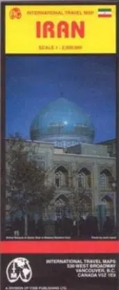
Scale 1:2,500,000. With inset map of central Tehran (1:50,000). Map of the country and portions of its neighbors with topographical contours and elevations indicated by color changes. Legend locates international provincial boundaries, settlements from large cities to villages, roads (with point-to-point distances in kilometers) from multi-lane highways to tracks, railways, airports, points of interest, peaks with elevations in meters, hydrography. Index of place names, descriptions of select highlights.